Deskripsi
LIHAT BROSUR : Brosur GPS Map Garmin 66s
GPS Garmin 66S alat ini sangat cocok untuk hiking, hunting, climbing, geocaching, bersepeda gunung dan lainnya. Dengan layar berwarna ukuran 3″ yang dapat terlihat di bawah sinar matahari.
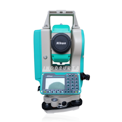
Beli juga : Total Station Nikon K2
Kemudian di lengkapi dengan teknologi pintar dari satelit yang dapat beroperasi selama 24 jam penuh sehingga mampu memberikan informasi setiap rute perjalanan yang dapat di lalui. Kompas 3 Axis dengan akselerometer, barometer dan altimeter.
Fitur GPS Garmin 66S :
- Layar berwarna ukuran 3″ yang dapat terlihat dibawah sinar matahari
- Sistem navigasi satelit Global ( GNSS ) mendukung untuk melacak perjalanan dilingkungan yang lebih menantang
- Kompas 3 Axis dengan akselerometer, barometer dan altimeter
- Konektivitas nirkabel melalui tehnologi Bluetooth atau ANT+
Spesifikasi GPS Garmin 66S :
General
- Physucal Dimensions: 2.5″ x 6.4″ x 1.4″ (6.2 x 16.3 x 3.5 cm)
- Disply Size: 1.5″W x 2.5″H (3.8 x 6.3 cm); 3″ diag (7.6 cm)
- Display Resolution: 240 x 400 pixels
- Display Type: transflective color TFT
- Weight: 8.1 oz (230 g) with batteries
- Battery Type: 2 AA batteries (not included) NiMH or Lithium Recommended
- Battery Life: Up to 16 hours – Up to 170 hours in expedition mode
- Water Rating: IPX7
- MIL-STD-810: yes (thermal, shock, water)
- Dengan High Sensitivity Receiver
- Interface: high speed micro USB and NMEA 0183 compatible
- Memory/History: 16 GB
Maps & Memory
- Ability To Add Maps
- Basemap
- Automatic Routing (Turn By Turn Routing On Roads) | Yes (with optional mapping for detailed roads)
- Map Segments | 15000
- Birdseye | yes (direct to divice)
- Includes Detailed Hydprographic Features (Coastlines, Lake/River Shorelines, Wetlands and Perennial and Seasonal Streams
- Includes Searchable Points of Interests (Parks, Campgrounds, Scenic Lookouts and Picnic Sites)
- Displays National, State and Lokal Parks, Forests, and Wilderness Areas
- External Memory Storage | yes (32 GB max microSD card)
- Waypoints/Favorites/Locations | 10000
- Tracks | 250
- Track Log | 20000 points, 250 saved gpx tracks, 300 saved fit activities
- Router | 250, 250 points per route 50 points auto routing
- Rinex Logging
Sensors
- GPS
- Glonass
- Galileo
- Barometric Altimeter
- Compass | Yes (tilt-compensated 3 axis)
- GPS Compass (While Moving)
Daily Smart Features
- Connect IQ (Downloadable Watch Faces, Data Fields, Widgets and Apps)
- Virb Remote
- Pairs With Garmin Connect Mobile
- Active Weather
- Smart Notifications ON Handheld
Safety and Tracking Features
- Livetrack
Outdoor Recreation
- Point To Point Navigation
- Compatible With Basecamp
- Area Calculation
- Hunt/Fish Calender
- Sun And Moon Information
- Xero Locations
- Geocaching Friendly | yes (Geocache Live)
- Custom Maps Compatible | yes (500 custome map tiles)
- Picture Viewer
- Inreach Remote Widget
- LED Beacon Flashlight
Outdoor Applications
- Compatible With Garmin Explore APP
- Garmin Explore Website Compatible
Connections
- Wireless Connectivity | yes (Wifi, Bluetooth, Ant+)
Alasan mengapa memilih Indosurta?
- Lebih dari 10 Tahun berpengalaman di dunia survey dan pemetaan.
- Setiap pembelian alat di Indosurta akan mendapatkan gratis kalibrasi selama 1 tahun,dan gratis pelatihan alat.
- Produk berkualitas dan bergaransi resmi
Kami melayani pengiriman di luar Kota Palembang
Kami hadir di kota – kota besar di seluruh indonesia diantaranya sbb :
- Balikpapan
- Makassar
- Batam
- Surabaya
- Palembang
- Medan
- Manado
- Cikarang
- Semarang
- Banjarmasin
- Kendari
- Jakarta
- Samarinda
Baca juga : Peran penting Geodesi dan Satelit Altimetri dalam Pemetakan lautan bumi


